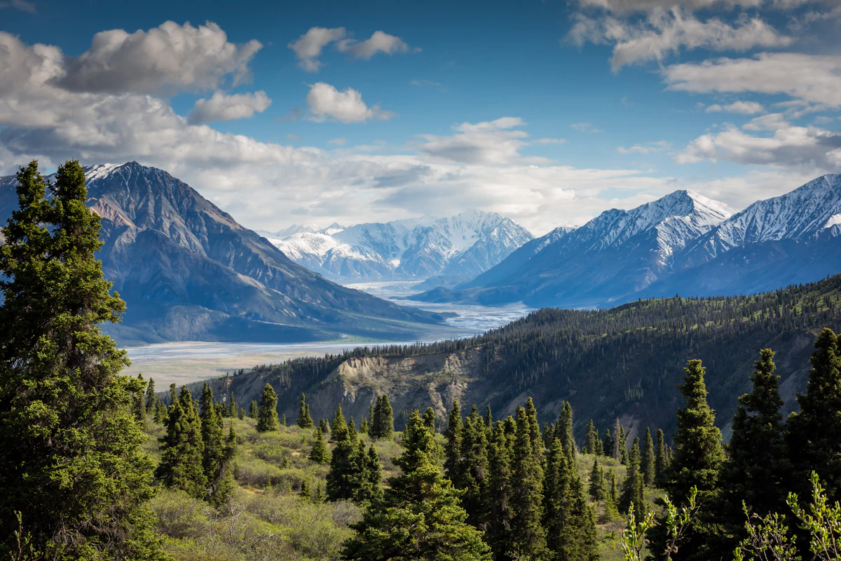
Throchi (Gulpur) Fort
A hilltop fort in the Kotli region near Gulpur, associated with the area’s historic defenses. The views sweep across valleys and routes.
A vibrant valley settlement in Kotli District, Azad Kashmir — close to the Line of Control, surrounded by terraces, shrines and historic routes between Mirpur, Khuiratta and Kotli.
Kaladab (often written Kala Dab) is a small town–village cluster in Kotli District, Azad Kashmir. It sits along the Mirpur–Khuiratta corridor, with local links to Charhoi/Chakswari and surrounding hamlets. Agriculture, small trade and an overseas diaspora shape daily life. The ridgelines around the valley offer wide views and glowing sunsets.
A hilltop fort in the Kotli region near Gulpur, associated with the area’s historic defenses. The views sweep across valleys and routes.

A dramatic peninsula fort near Mangla Lake (Mirpur), with late‑medieval/Mughal features. Boat/trek approaches reward with sweeping vistas.

Mughal‑period fort in Samahni Valley (Bhimber). Close to the LoC and linked in lore to Emperor Jahangir’s final journey.
Tip: sunrise and late‑afternoon light are best for photos year‑round.


The wider Kotli–Mirpur–Naushahra belt, including the Jhangar junction area across today’s LoC, was strategically important during the first Kashmir war (1947–48). Control of routes and hill positions shifted, and communities lived through the dangers and displacements of that era. We honour the courage and sacrifices on all sides and the resilience of local families.
Jhangar (across the LoC from Kotli sector) linked Mirpur–Kotli–Jammu–Rajouri routes. It saw intense fighting from December 1947 onward due to its strategic roads and ridge lines.
Oral histories from villages around Kaladab recall displacements, aid to travellers, and vigilance during the conflict. We invite families to share verified stories and photographs to enrich this archive.
Nearby forts like Throchi and Baghsar symbolize centuries of frontier vigilance. Today, Kaladab advocates peace, safety and respect for all communities living near the LoC.
Note: We avoid unverified claims. If you have documented references (awards, citations, service records), please contact us to include them respectfully.
Routes commonly run via Sehnsa/Holar toward Kotli, then local roads via Charhoi/Chakswari to Kaladab.
Drive toward Rajdhani or Charhoi corridors and follow local signage for Kaladab and adjacent villages.
Road conditions change seasonally; check locally before travel.
The Kotli region borders Indian‑administered territory to the north‑east. Cross‑LoC developments can affect travel. Follow official advisories and local guidance.
For updates, contributions and photo permissions from the Kaladab community, please email info@example.com.
Have old photos, service records, or family histories linked to Kaladab and its surroundings? Share them to help build an authentic archive for visitors and the diaspora.